LMS system (free navigation)
Natural and intelligent laser terrain mapping system (LMS), a type of so-called free navigation ensuring the autonomous operation of the robot.
The LMS system uses naturally occurring objects such as walls, machines, etc. to create a virtual map (coordinate system) on which the robot moves. It allows you to move freely in the mapped space and avoid obstacles. It also allows the robot to make decisions about the optimal route between the designated points.
The LMS system ensures quick implementation and does not require any changes in your environment. It is easy to adapt the robot to current needs, which gives great flexibility of applications.
In line with a vision system
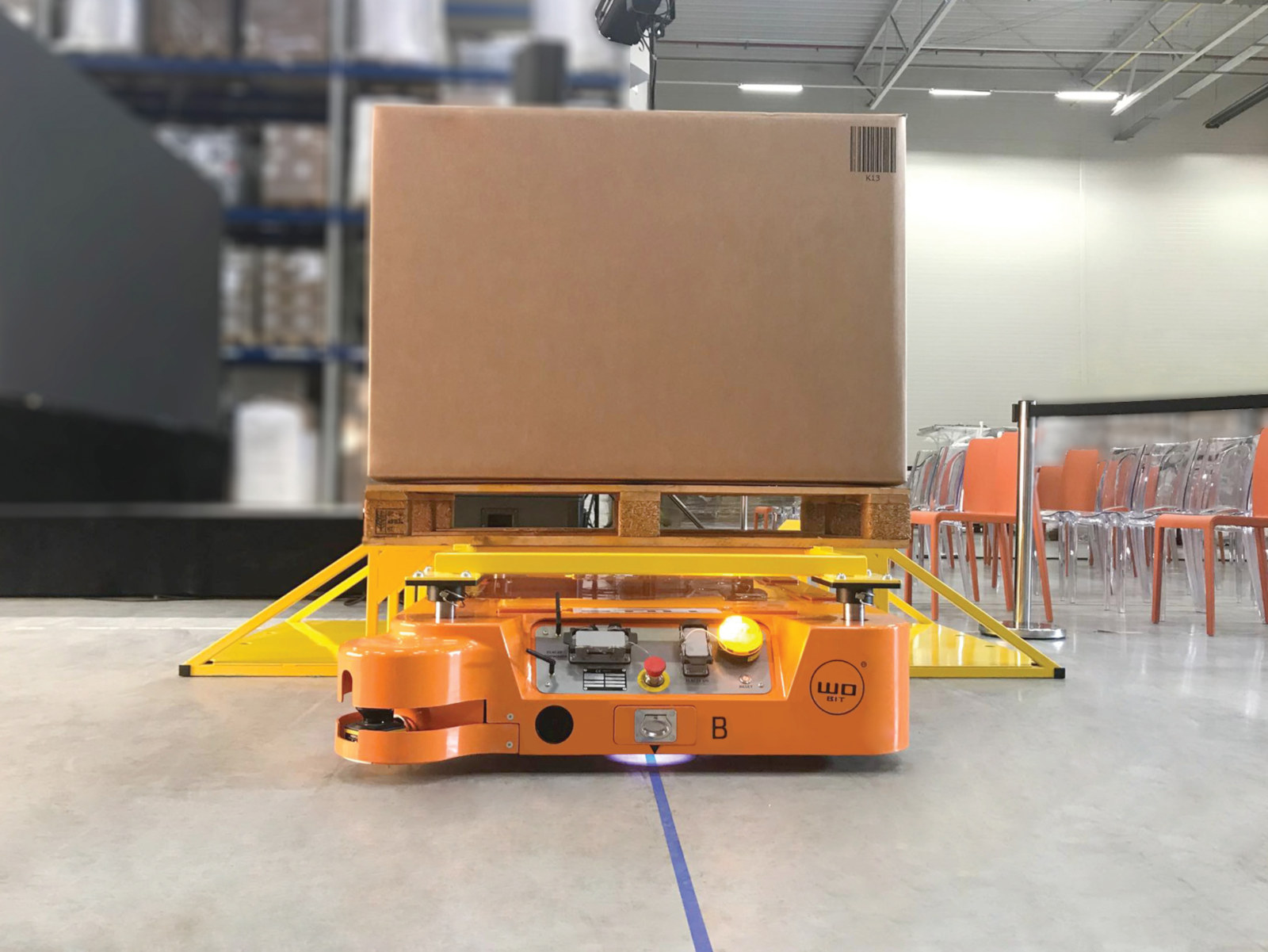
The robot moves along a colored line and the position is detected by a vision system. The line is painted with abrasion-resistant paint or glued and additionally secured with a protective tape.
Line navigation is a method that allows for precise robot positioning. The tape laid on the floor is very flexible and allows for its exact positioning as expected. Land landmarks are marked with QR codes.